New Map Highlights Expanded Bike Network Across Ararat’s CBD
Ararat Rural City Council is excited to release a new, comprehensive map detailing the municipality’s updated bicycle network, making it easier than ever for residents and visitors to navigate the town on two wheels.
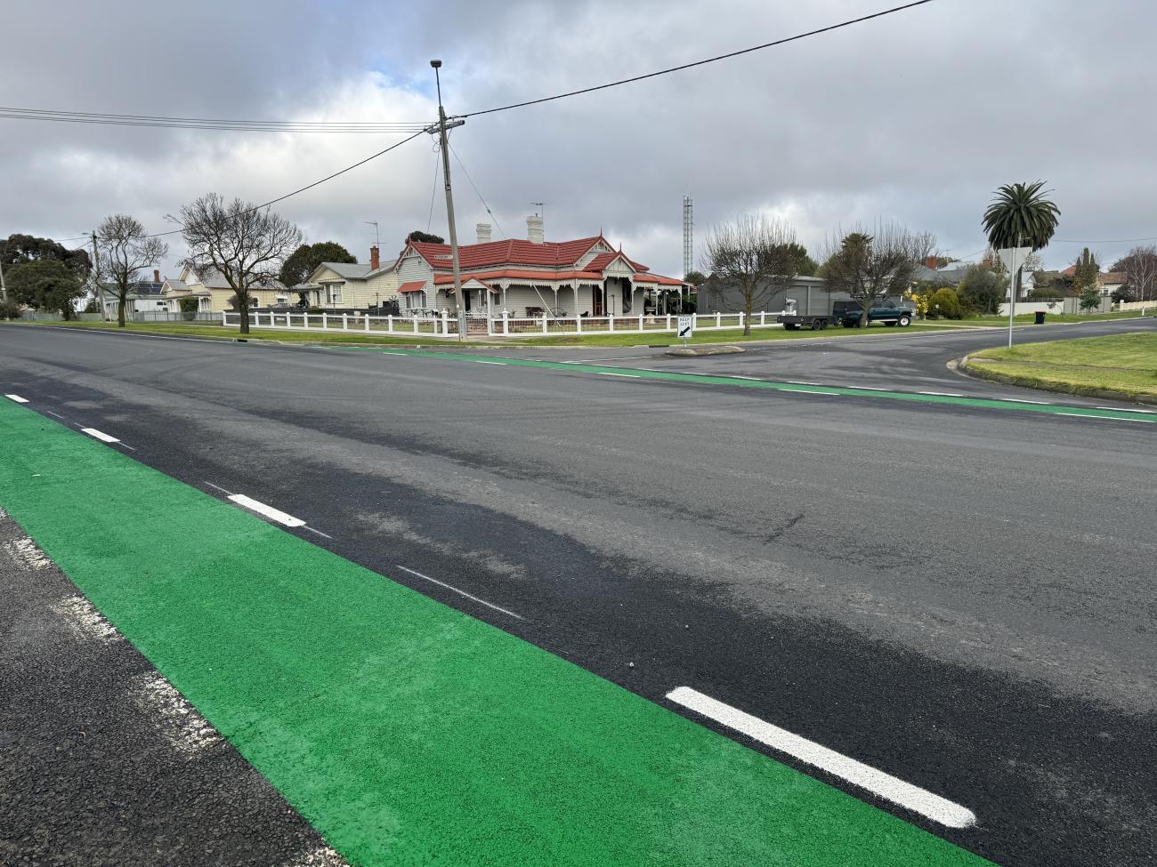
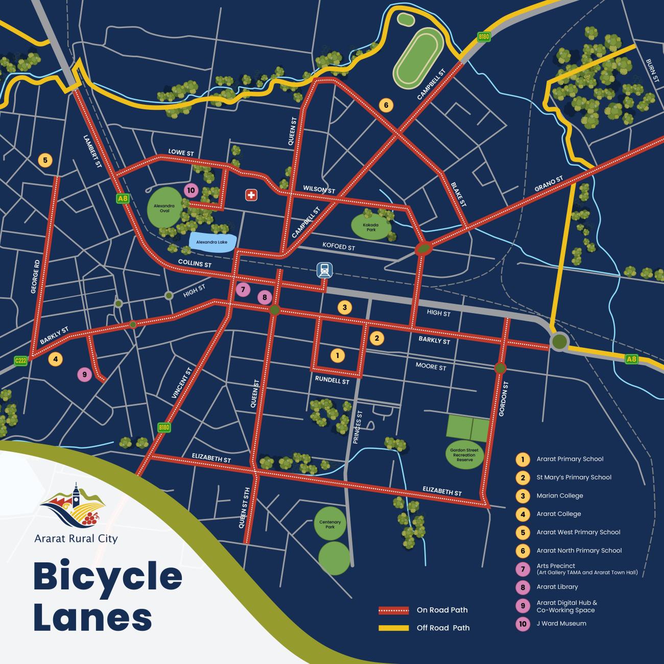
The release follows the successful completion of a major infrastructure upgrade that expanded Ararat’s bike paths by nearly 10km. Designed to improve local connectivity, accessibility, and community wellbeing, the new map, which is available for immediate download on the Ararat Rural City Council website, shows the full network of bike paths alongside the newest dedicated lanes.
The newly constructed and upgraded pathways now span Elizabeth, Queen, Gordon, Wilson, Lowe, Grano, and Blake streets.
The updated routes create seamless, safer links between the central business district and key community precincts, including the Gordon Street Recreation Reserve and Alexander Oval, and are designed to offer protected, accessible transport options for cyclists of all confidence levels.
The infrastructure expansion was driven by Council’s Ararat on the Move strategy and supports the Municipal Public Health and Wellbeing Plan 2025-29, which prioritizes safe, active transport and modern recreational facilities.
The project was jointly funded through a $266,000 grant from the Federal Government’s Active Transport Fund alongside a $133,000 investment from Ararat Rural City Council.
"Whether you're planning your daily commute or exploring the newly connected routes along Elizabeth, Queen, or Gordon streets, this map is a great tool to make traveling around Ararat safer and more accessible,” says Ararat Rural City Council Mayor Bob Sanders.
“Linking our CBD directly to key sports hubs like Alexander Oval and the Gordon Street Recreation Reserve is a major win for our entire community."
Residents can download the new bike lane map directly from the Ararat Rural City Council website here, or pick up a physical copy at the Vincent Street municipal offices.